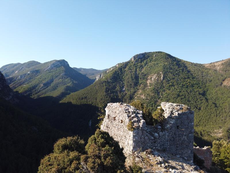
A beautiful hike from the picturesque village of Saint-Jurs to the summit of Agra and its breathtaking view of the Valensole plateau. In summer, the forest is sometimes closed due to fire risk.
From the car park, return towards the village Take rue “Lou pas” opposite, then turn right into rue du Four. Pass under the old castle and join the Col de St Jurs road. Take in front. The marked trail quickly joins the road. Follow it for 500 m. Go up the marked route for another 2 km, alternating along the path in the woods and passages on the small road to the pass. After a final road crossing, join the path at a crossroads of marked routes. Leave access to the St Jurs pass on the left and continue straight on to the pass from where the path leads to the summit of Agra.
The path quickly enters a rocky gorge (a little steep but not particularly difficult) then continue the path in bends up to the crest of the Agra. In the middle of the boxwoods reach the summit.
Head back towards the summit of Montdenier and go down the path between the rocks to the woods. Turn left along the path and go down in bends, under the pines, to the track. Take in front. The route goes to the left, crosses a valley and joins the Levens track. Return, to the left, to the Col de St Jurs. Then take the path on the left 150 m after the car park and go down to the village.
- Circuits de France
- Open air
- Listed PDIPR
Rates
Free access.- Level red – hard
- French
- Free car park
- Car park
- Pets welcome
GPX tracks
Updated on 03/04/2025 – Office de Tourisme Provence Alpes Digne les Bains – Suggest an edit
 " />
" /> 

