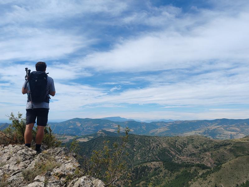
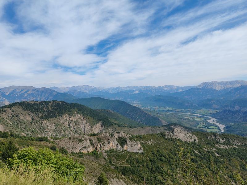
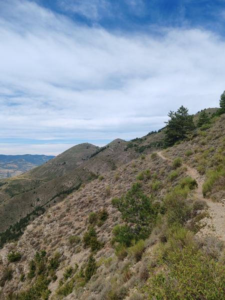
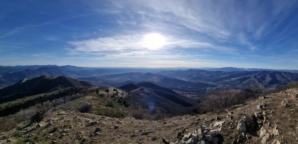
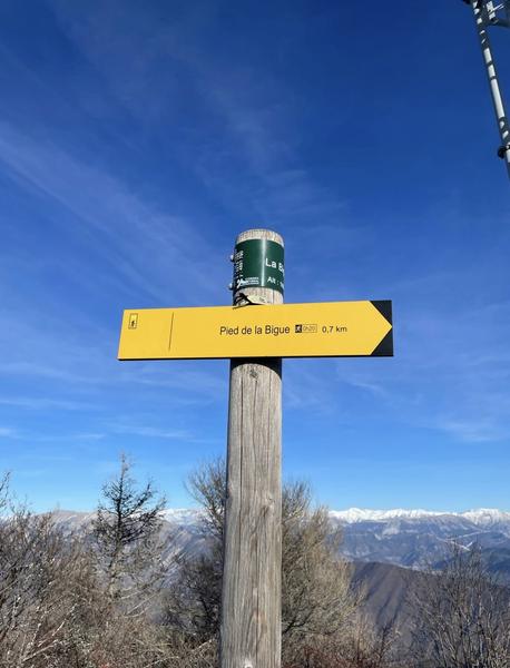
This hike, starting from the village of Thoard, follows the markings of the great crossing of the Prealps. In its first part, which may seem a little difficult, the path winds through a scrubland area before reaching a magnificent beech forest.
The hike continues on the shady side of the Siron massif to reach the crest at “la Bigue” and offer a superb panoramic view.
Chains and labels
- Circuits de France
- Open air
- Listed PDIPR
Rates
Free access.Various informations
Accepted animals : Yes
Publics
- Level black – very hard
Languages spoken
- French
Equipements
- Free car park
- Car park
- Public WC
Services
- Pets welcome
GPX tracks
Alpes de Haute Provence Tourisme equipement/apidae-sommet-de-la-bigue-1653-m-7130471
Updated on 03/04/2025 – Office de Tourisme Provence Alpes Digne les Bains – Suggest an edit
 " />
" /> 