Trail n°3 – Sommet du Cousson

Trail n°3 – Sommet du Cousson
Trail n°3 - Sommet du Cousson

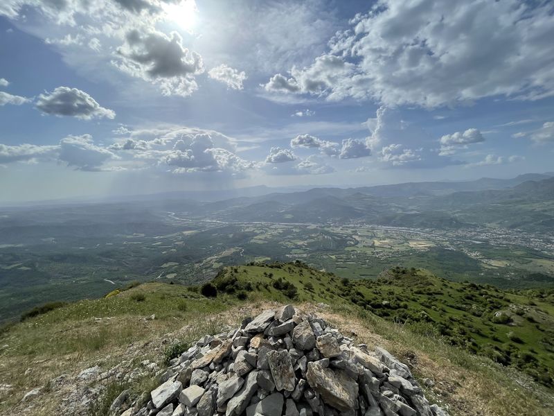
Departing from the Tourist Office. Take boulevard Thiers then college Gassendi and start the Cousson route by the Caramantran path to the Hautes Bâties forester’s house.

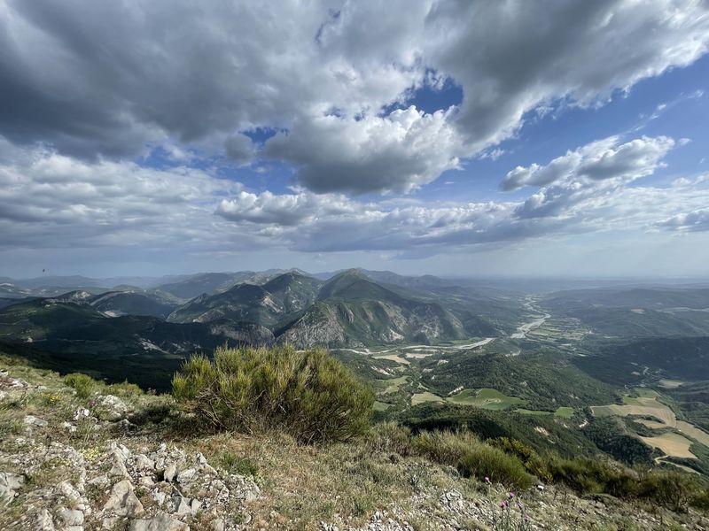
Continue via the Pas d’Entrages (superb view of the village of Entrages and the Barre des Dourbes). Continue the route on the ridge then descend via the Pas de Baudillon. In the hamlet of Basses Bâties take the route des Oreilles d’ânes and return to Digne les Bains at the Tourist Office.

Provence Alpes Agglomération

Place du Tampinet,
04000 Digne-les-Bains

Telephone : +33492366262

Chains and labels
  • Open air

Rates

Free access.
Publics
  • Level red – hard
Languages spoken
  • French
Equipements
  • Parking nearby

GPX tracks

Trail n°3 – Sommet du Cousson_Digne-les-Bains (Download the route)
Alpes de Haute Provence Tourisme equipement/apidae-trail-n3-sommet-du-cousson-3947182
Fiche au format PDF Imprimer la fiche

Updated on 14/02/2025 – Office de Tourisme Provence Alpes Digne les Bains – Suggest an edit

See also :

Pin It on Pinterest

Logo of Alpes de Haute Provence irresistible
Trail n°3 - Sommet du Cousson
Fiche au format PDF
Imprimer la fiche
360 ° virtual tour of Alpes de Haute Provence
Logo of County Council Conseil départemental Alpes de Haute Provence
logo of Regional Council Région Sud Provence Alpes Côte d'Azur
logo CCIT 04