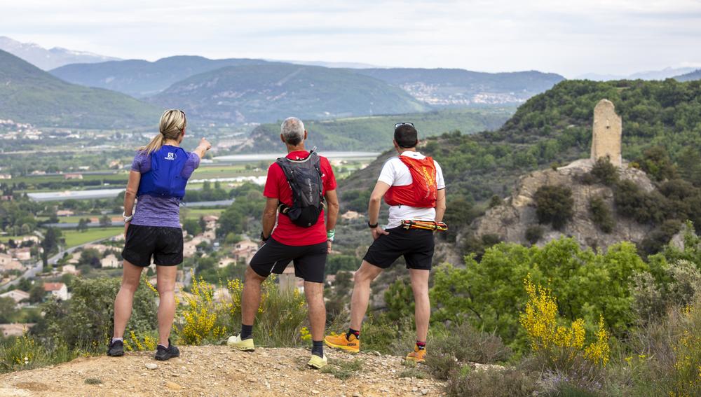
The Trail des 2 Tours, starting from the Volonne bridge, is also marked at night with retro-reflective markings on the ground, which is practical when using a headlamp.
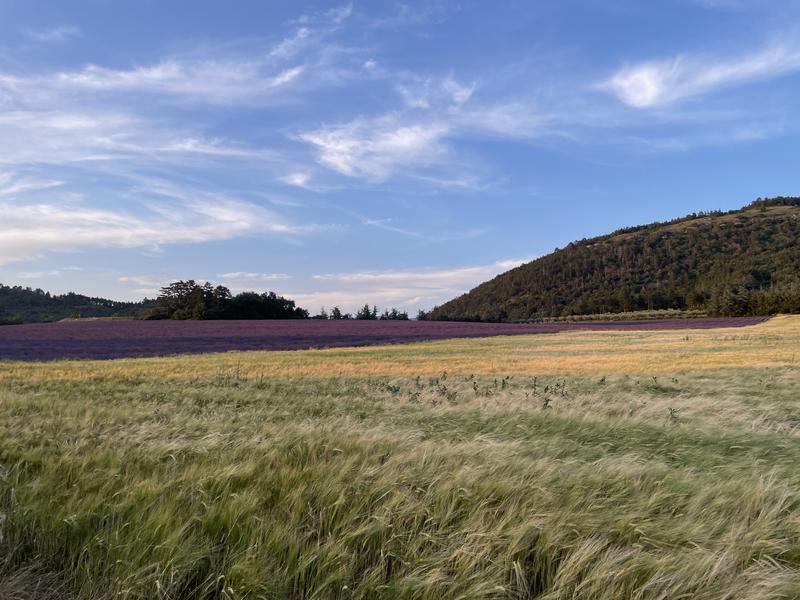
The Trail des 2 Tours begins by following the Tour du Lac then takes a pleasant climb in the alleys of the village of Volonne then you leave the village quite quickly by a tarmac road with a regular climb. Higher up on the road to Calade you leave the road to take on your left a single-track path shaded between pines and oaks, it climbs steadily until reaching the path of Coques. From there take on the left a large track that will take you to the foot of the summit of Tigne, this is the highest point of the route. The descent is on a rolling track where you can admire pretty views of the Val de Durance. This descent will take you to the path of Rouvière, a plateau with fields of lavender and wheat which offers you a surprising view of the 2 Tours. Once past the plateau the path continues on a very playful single-track path with a few pretty hairpins to then finish near the church of Saint Martin and join the village of Volonne.
- Open air
Rates
Free access.- Level bue – Medium
Opening dates
All year round.- French
- Parking nearby
GPX tracks
Updated on 14/02/2025 – Office de Tourisme Provence Alpes Digne les Bains – Suggest an edit
 " />
" /> 


