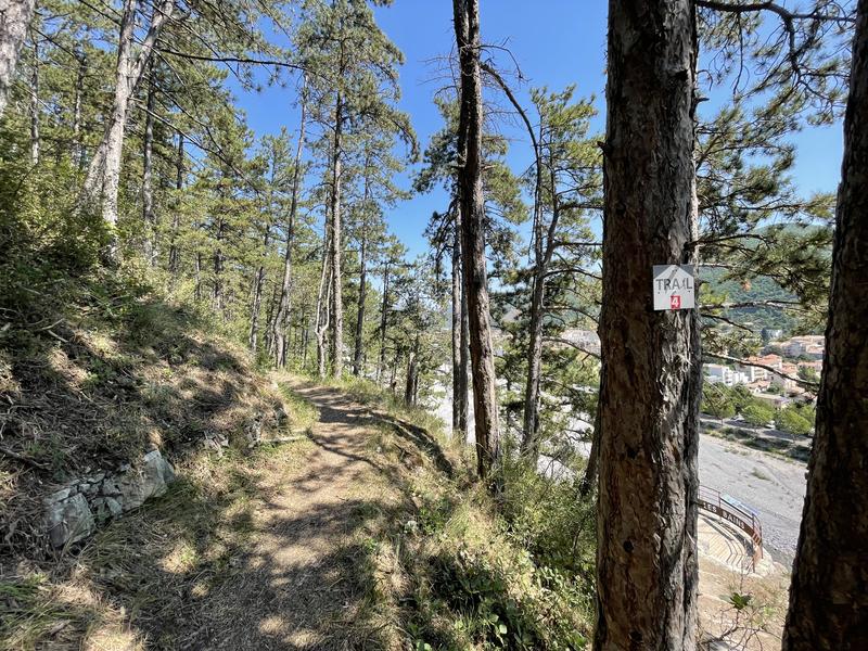
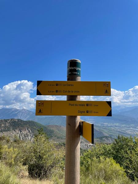
From the Tourist Office, cross the Bléone and take the Caguernard path which runs along the river and pass in front of the Promenade Museum (Géoparc de Haute Provence).
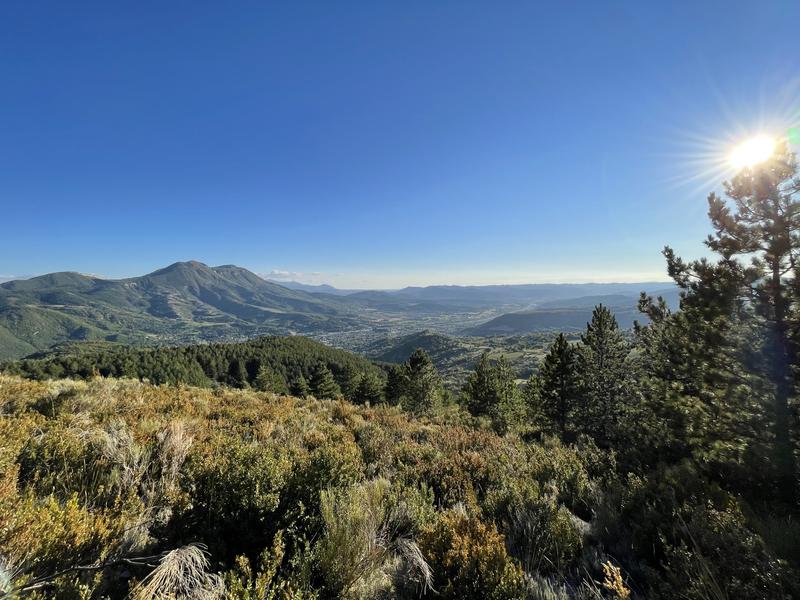
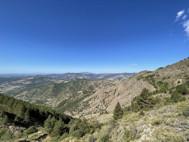
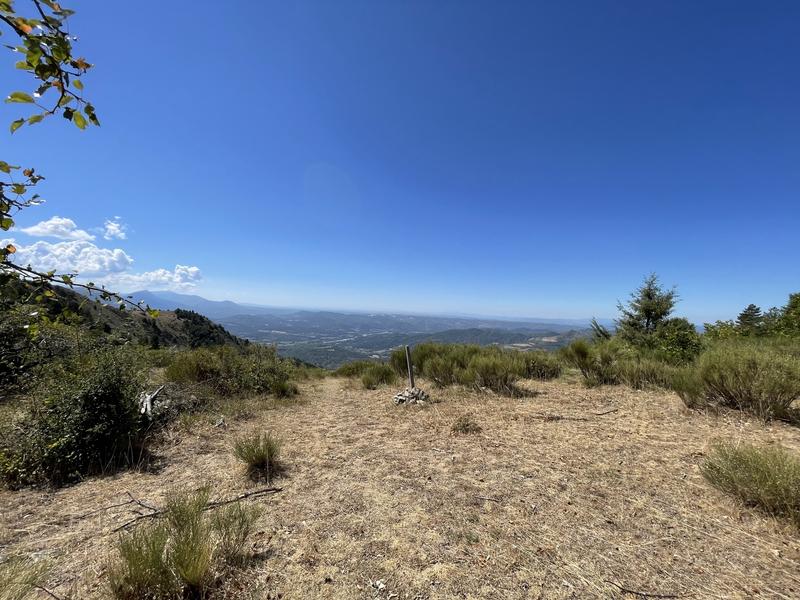
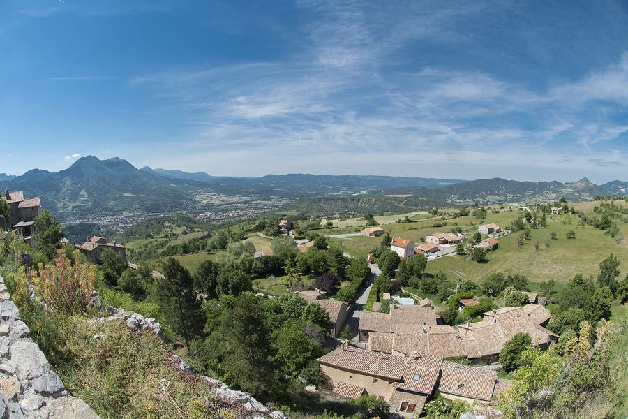
Go up the Vallon de Gévaudan to the ruined hamlet of the same name, and reach the crest of Darau then the summit of Martignon. Very nice view of the Siron and the Massif des 3 Evêchés. Go back down towards Digne, passing near the summit of Andran. Then return to the Tourist Office.
Chains and labels
- Open air
Rates
Free access.Publics
- Level red – hard
Opening dates
All year round.Languages spoken
- French
Equipements
- Parking nearby
- Public WC
GPX tracks
Alpes de Haute Provence Tourisme equipement/apidae-trail-n4-sommet-du-martignon-6590806
Updated on 14/02/2025 – Office de Tourisme Provence Alpes Digne les Bains – Suggest an edit
 " />
" /> 