 " />
" /> 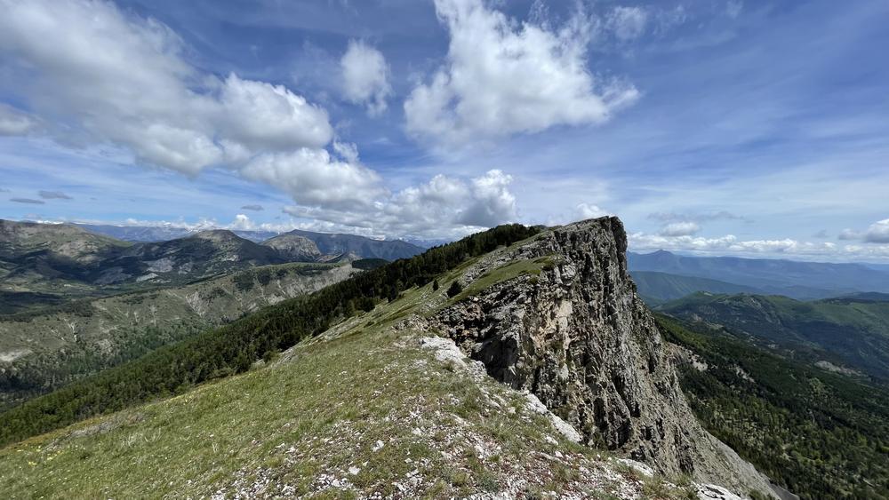
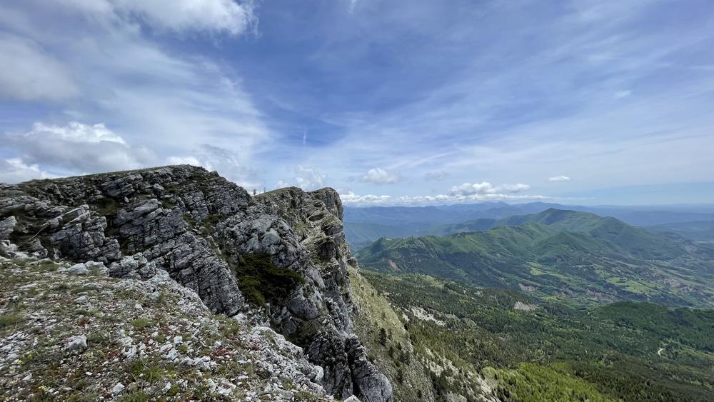
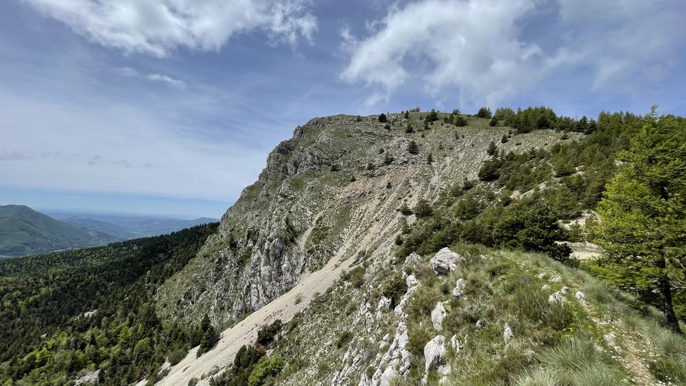
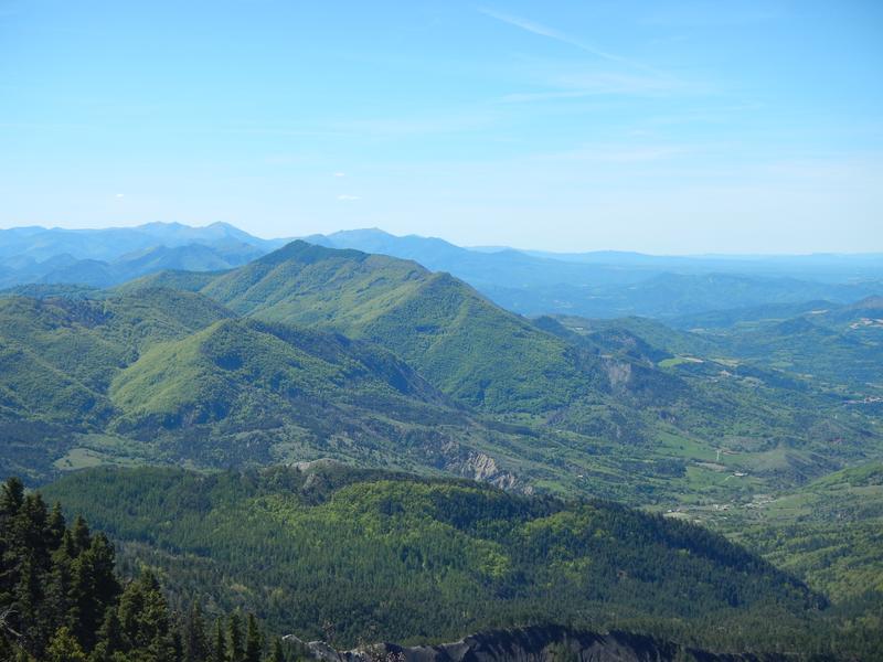
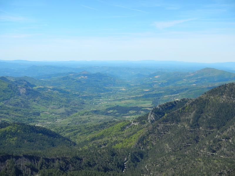
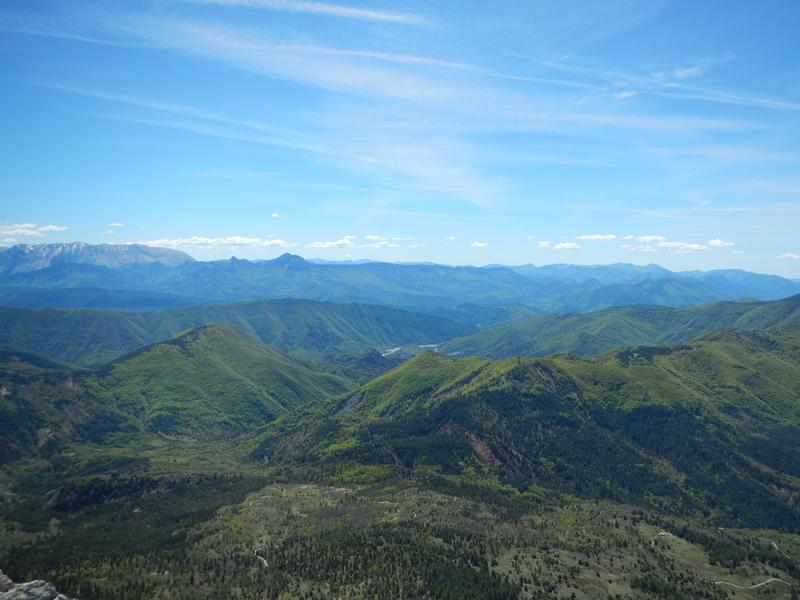
The climb is easy and pleasant in the forest, as well as the crossing to the end of the bar where meadows, lavender and edelweiss mix. All along the ridge line, a wide panorama allows you to admire both the Alps and Provence.
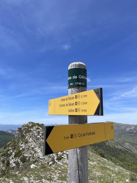
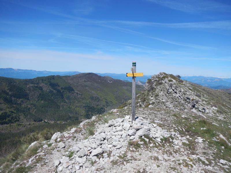
From the Col de Fontbelle (1304 m) – Follow the forest track that heads north and pass in front of the Fontbelle forester’s house and continue for 750 m. Then turn right onto the path that climbs into the forest and comes out at a crossroads. Go left, the path continues across, still in the undergrowth, then runs along the rocky ledge before crossing it and reaching the ridge. Continue on the opposite slope for 150 m. Then climb off the trail (pay close attention to the markings) and join the Géruen ridge. Follow it on the left to the summit of Géruen. The return is made by the route taken on the way out.
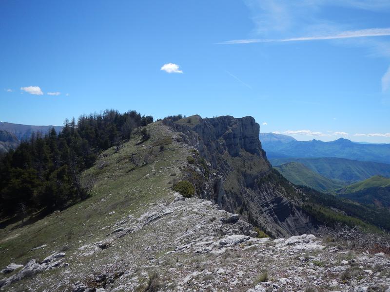
The Géruen mountain is a characteristic limestone bar like many neighboring peaks; it overlooks the Duyes valley and is most often accessed via the Fontbelle pass. You will see the village of Thoard, fields sometimes cultivated with real lavender (and not lavandin) and astonishing scenery made of large limestone blocks that seem to be planted in the underlying marl. The area was completely reforested in the late 19th – early 20th century to combat erosion. While the Austrian black pine dominates, ash and alder trees populate the humid valleys while Scots pines and maples brighten up the sunny slopes. The biodiversity there is remarkable.
- Circuits de France
- Open air
- Listed PDIPR
- Geosites
- Geology
Rates
Free access.- Level red – hard
- French
- Free car park
- Car park
- Picnic area
- Pets welcome
GPX tracks


Updated on 14/02/2025 – Office de Tourisme Provence Alpes Digne les Bains – Suggest an edit