 " />
" /> 
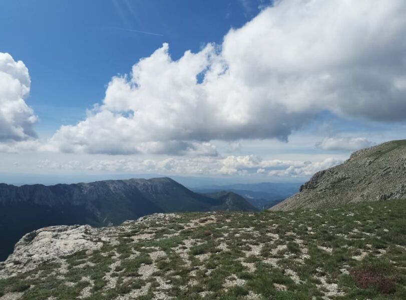
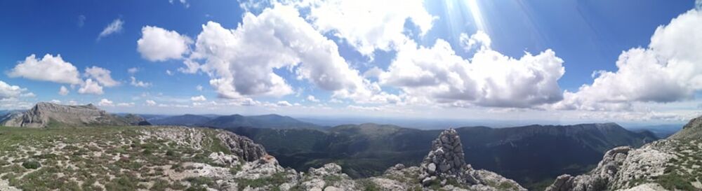
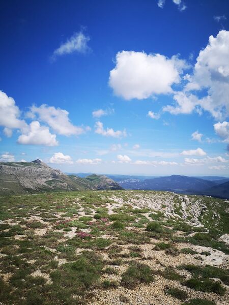
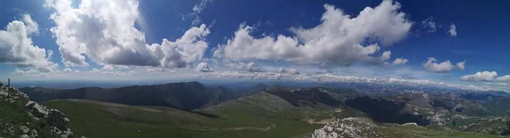
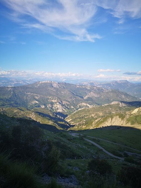
At the summit, a breathtaking 360° view of the Verdon relief and the Digne Pre-Alps, with the peaks of the Ecrins and Mercantour massifs silhouetted against the horizon.
Parking and start at Hameau des Chauvets. The climb starts on the rightmost track just after the Chapelle Saint-Pierre, marked in yellow.
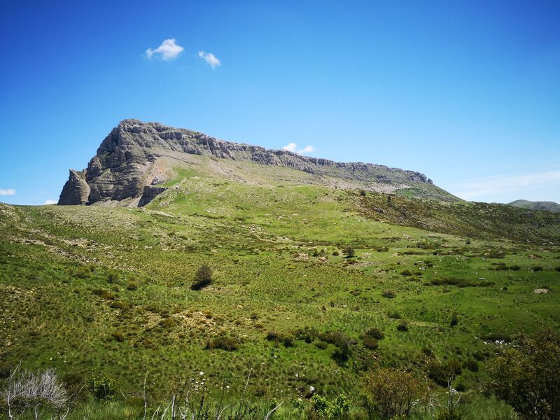
After 600 m, a bend in the track is cut off to take the path heading due north to the Portail de Blieux. The pass, between Grand Mourre on the right and Chiran on the left, is clearly visible.
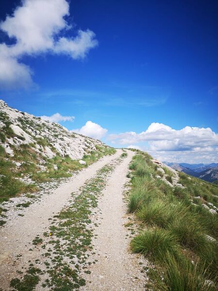
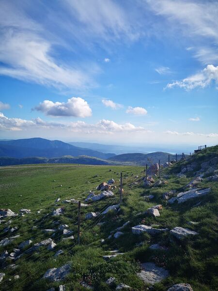
Once you’ve reached the Portail de Blieux, you join the wide track leading up to the summit.
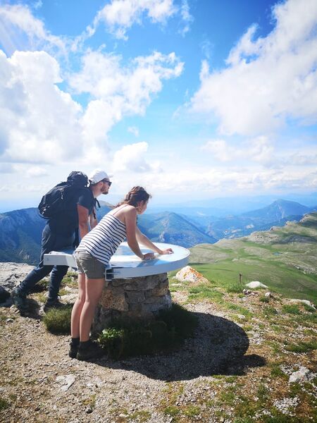
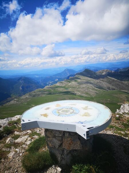
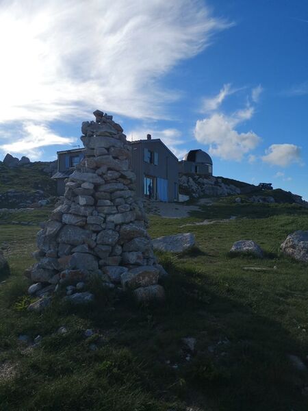
At an altitude of 1905 m, the summit is home to the Mont Chiran Observatory, a refuge and an orientation table.
It’s said that from up there, on a clear day, you can see up to 1/5th of the surface of France.
Communauté de communes Alpes Provence Verdon “Source de Lumière”
Les Chauvets,
04120 La Palud-sur-Verdon
Telephone : +33492837689
Email : [email protected]
To download : Fiche E12 – Sommet du Chiran
- Circuits de France
Rates
Free access.- Level black – very hard
GPX tracks


Updated on 19/09/2024 – Office de Tourisme Intercommunal Verdon Tourisme – Suggest an edit