 " />
" /> 
You will go up the spectacular and tortuous Bès valley, rich in geological curiosities, then you will go around this emblematic mountain before descending through the Bléone valley. What a contrast between the two sides!
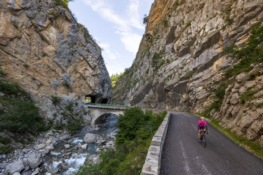
This 65 km loop takes you through mountain landscapes, north of Digne les Bains, to discover the geological particularities of the Geopark of Haute-Provence. From Digne les Bains, take the road to Barles. At the exit of the city: the Museum Promenade and the Dalles aux ammonites. Follow the direction of Barles, through the famous Clues de Barles, a breathtaking geological formation! Possibility of swimming in the Bès.
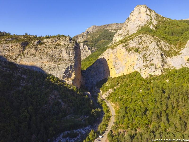
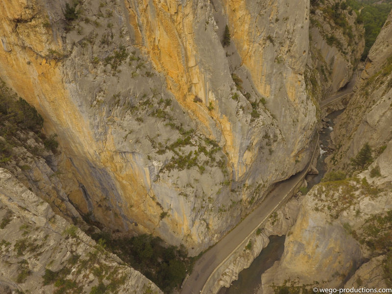
Cross Barles and continue towards Verdaches, via the clues of the same name. Pass the Col du Labouret (2,1km at 4%) and observe the constructions: this pass marks the architectural limit between the Alps (sloping roofs) and Provence (flatter and tiled roofs).
Continue the loop through the villages of Haute Bléone: La Javie, Le Brusquet. At Marcoux, turn right and return via Clos de Jaline. The road joins the road to Barles, on which you started your route.
Provence Alpes Agglomération
Place du Tampinet,
04000 Digne-les-Bains
Telephone : +33492366262
Website : www.rando-alpes-haute-provence.fr/randonnee-velo/tour-du-blayeu…
Website : www.cirkwi.com/fr/circuit/306058-tour-du-blayeul-n-1-facile-65…
Rates
Free access.- Level bue – Medium
Opening dates
All year round.- French
- Public WC
- Car park
- Free car park
GPX tracks


Updated on 12/02/2025 – Office de Tourisme Provence Alpes Digne les Bains – Suggest an edit